No pain, no gain. Let us introduce you to the highest mountain views in Franconia, Eastern Bavaria, the Allgäu and Upper Bavaria. And we reveal how you can conquer the Schneeberg, Krottenkopf, Großer Arber and Zugspitze on foot. Text: Christian Haas
4 Alpine Hiking Tips in Bavaria

Zugspitze
Approx. 2,200 metres in elevation, 21 kilometres, approx. 10 hours walking time, start at Partenkirchen-Kainzenbad railway station or Garmisch-Partenkirchen long-distance railway station. Overnight accommodation: “Reintalanger-Hütte” or “Knorrhütte”.
Character: Medium-difficulty, beautiful route, which gets quite steep. Somewhat more technically challenging in the final section.
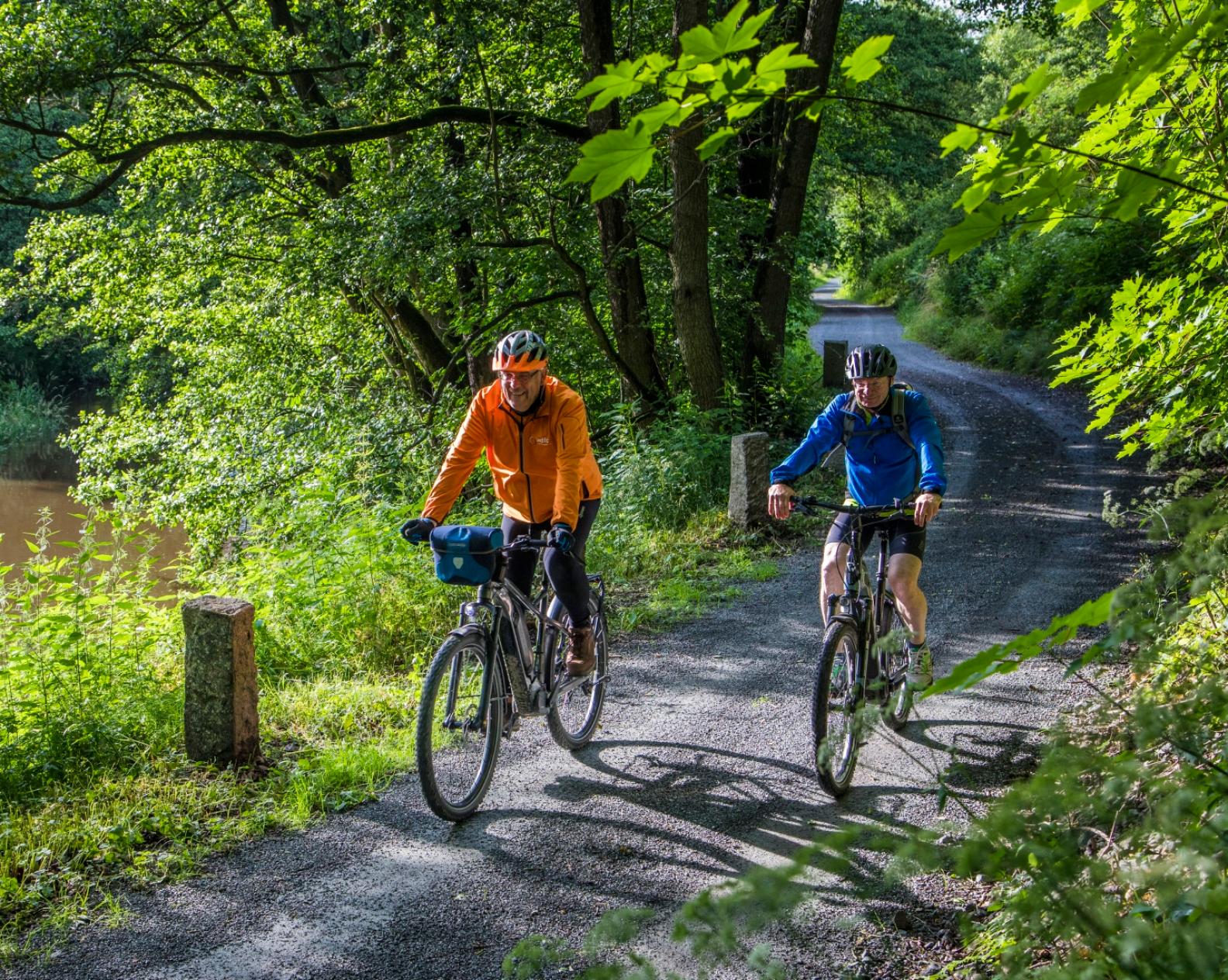
Several cable cars and a number of hiking and climbing routes make their way to the top of Germany’s highest mountain. The easiest route is also the longest: the Reintal route, which starts in Garmisch-Partenkirchen, covers 21 kilometres. It helps that there are two options for overnight accommodation: the “Reintalangerhütte” and the “Knorrhütte”.
Apart from the slightly more challenging final section, which can be replaced with a cable car ride, this medium-difficultly tour through the Wetterstein Mountains is perfectly feasible for regular walkers.
zugspitze.de

Grosser Arber
Approx. 1,000 metres in elevation, 14 kilometres, 6–7 hours walking time. Start at the Ecker Sattel hiker’s car park (by train to Cham, then by bus).
Character: One of the loveliest sections of the Goldsteig is easy to medium-difficulty and can be undertaken on an individual basis, not least because the of the E6/L6 marking.
Climbing an eight-thousand metre mountain requires experience, fitness, time and a flight. However, even keen amateur hikers can tackle eight thousand-metre mountains in one day. This panoramic tour across eight peaks of the Arberkamm ridge starts with the Eck, at 850 m. The high point is the 1,456 m high Grosser Arber, the highest mountain in Eastern Bavaria.
The refuge there greets hikers with sophisticated Bavarian cuisine as well as the opportunity for an overnight stay (including a bridal room!) And the big decision is whether to take the gondola back down to the valley (including the Lovers’ Cabin!) or to walk one hour down the Smuggler’s Path to the hikers’ bus stop at Brennes. A prettier (but longer) route leads through the wildly romantic Rißloch gorge.
arber.de | bayerischer-wald.de (only in German)
3
Krottenkopf
1,800 metres in elevation, 20 kilometres, approx. 9 hours walking time, start in Spielmannsau near Oberstdorf (train), accommodation: “Kemptner Hütte”.
Character: largely relaxed, maximum medium-difficulty route that has no special technical challenges except the usual need for surefootedness and a head for heights.
The Grosser Krottenkopf at 2,656 m is the highest mountain in the Allgäu Alps – and a popular but never crowded destination. However, hikers are recommended to take two days over it and include an overnight stay. Not only is the summit itself quite superb: the entire length of the route passes through magnificent scenery.
It starts in the idyllic Trettachtal valley, followed by the wildly romantic Sperrbachtobel. This is easy walking, but in the higher sections you need to use your hands more frequently, and the final metres to the summit are quite exposed. The only fly in the ointment is that you have to go back the same way.
oberstdorf.de (only in German) | allgaeu.de

Schneeberg
300 metres in elevation, 10 kilometres, 3 hours walking time, start in Seehaus (busses e.g. from Bayreuth via Bischofsgrün).
Character: Medium-difficulty circular walk, requiring a good basic level of fitness. Predominantly good quality paths. Surefootedness essential.
With its turbulent history - a signalling point for centuries and a military post in the last century, whose perimeter fences were only taken down in the 1990s - the highest mountain in Franconia, at 1,053 m, has its own special aura. This is in part due to the unique long-distance views to the Franconian Forest and the Erzgebirge Mountains as well as the ecologically fascinating heaps of granite blocks.
naturpark-fichtelgebirge.org | frankentourismus.de

Fancy a visit to Zugspitze?
On the Reintal Trail, even experienced mountain hikers can make it to the summit of Germany's highest mountain without risk. Our reporter made the self-attempt